Heron Waterways Maps
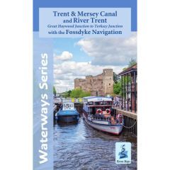
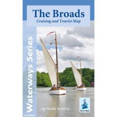
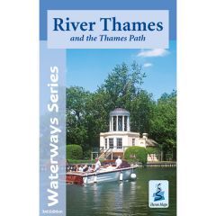
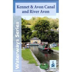
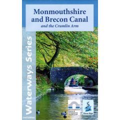
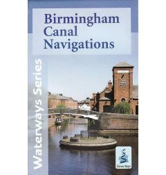
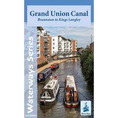
Heron Maps specialise in the mapping of the Inland Waterways of Britain (canals and rivers). They produce detailed maps for the boat user, which contain navigation and historical Information and are packed with information for the tourist. They are also available as laminated waterproof folded maps.


