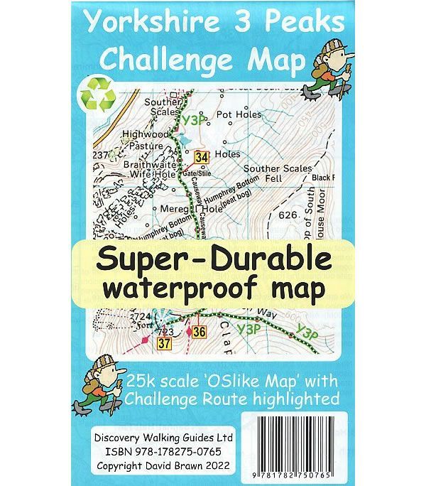
Yorkshire 3 Peaks Challenge Map
This Yorkshire 3 Peaks Challenge Map, at a scale of 1:25,000, shows the full Y3P Challenge Route of completing the 3 peaks of Pen y Ghent, Whernside and Ingleborough in less than 12 hours.
The map uses OS mapping at 1:50,000 that is expanded to produce a 1:25,000 scale map of the Yorkshire three peak challenge. By expanding the OS mapping all names, roads, tracks and trails are more than doubled in size making them easier to read under Challenge conditions. The Y3P challenge route is highlighted to make it stand out against the OS map background information. Additional information is then added to the map that will help your challenge, including the popular starting points of the Pen Y Ghent Cafe, Station Inn and Hill Inn. On the reverse of the map sheet are the Challenge and OS Legends, cover design, and an access map (approximately at 1:60,000scale) for road access from the nearest towns of Ingleton and Settle.
Published by Discovery Walking Guides in 2022, this is a double sided map.
This Yorkshire 3 Peaks Challenge Super-Durable map is water-proof, split-proof, tear-proof and challenge-proof that can take the roughest treatment and still folds up like new after your adventure. Backed up with a 2-year guarantee these Super-Durable maps have a special concertina map fold that means they easily unfold when in use, and more importantly will survive anything your Yorkshire 3 Peaks Challenge can throw at it and afterwards will fold up like new.
ISBN is: 9781782750765
-
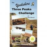 The Yorkshire Three Peaks Challenge GuidebookGuidepost price £8.99