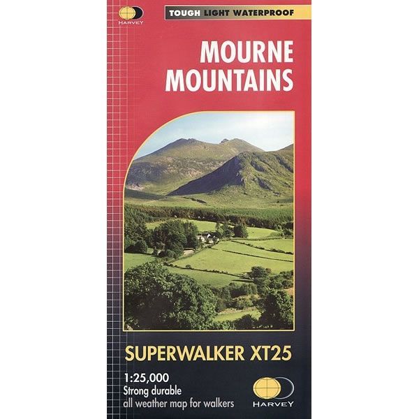
Mourne Mountains Superwalker Map
Guidepost price £15.50
In stock
SKU
02-SWM-040
This Mourne Mountains Superwalker Map covers the highest mountains in Northern Ireland, an Area of Outstanding Natural Beauty. The Mournes are a granite mountain range in County Down, with the highest peak being Slieve Donard at 850 metres.
This detailed map for hillwalkers of the Mountains of Mourne at a scale of 1:25,000, and includes The Mourne Way Long Distance Footpath.
The Mourne Wall is among the more famous features in the Mournes. It is a 35km (22mls) drystone wall that crosses fifteen summits, constructed in 1904 and completed in 1922 to define the boundaries of land purchased by the Belfast Water Commissioners in the late 1800s.
Superwalker maps are tough, light, durable and 100% waterproof, plus they are easy to re-fold.
Scale is:1:25,000
ISBN is: 9781851376124
ISBN is: 9781851376124
We found other products you might like!
-
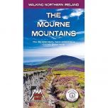 The Mourne Mountains Walking GuidebookGuidepost price £13.99