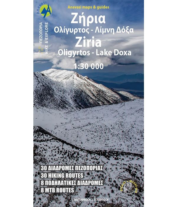
Mount Ziria Hiking Map
This Mount Ziria (Kyllini) map covers the region around the mountain from Trikala in the north to the wild ranges of Mount Oligirtos in the south, at a scale of 1:30,000. At 2,374m high, Mount Ziria is the 2nd highest mountain of the Peloponnese after Taygetos. This is a significant hiking area within the Peloponnese with the plateau of Feneos, the mythical lake of Stymfalia, Lake Doxa, and Mount Oligirtos all being significant locations of the area, along with Mount Ziria.
Ziria is a famous hiking destination that has a varied and beautiful landscape. Shown on the map are 30 suggested hiking routes and 8 suggested mountain biking routes, complete with detailed information regarding distances and duration.
Published in December 2023 by Anavasi and is map number 8.31. The text and legend of this Mount Ziria map is in English and Greek throughout.
Map Scale is 1:30,000.
ISBN is 9789609412490.
ISBN is: 9789609412490