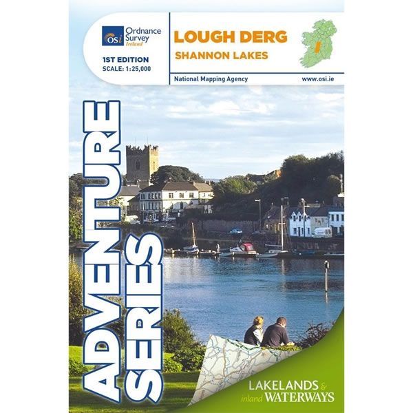
Irish Adventure Map - Lough Derg
Guidepost price £16.99
In stock
SKU
00-SIOS-203
This Lough Derg Adventure Map is part of a series of three Shannon Lake maps. It covers an area of 22km x 31km from where the River Shannon enters Lough Derg near Portumna and flows out between the towns of Killaloe in County Clare and Ballina in County Tipperary. The map is printed on both sides with a 1km overlapping section at a scale of 1:25,000.
Detailed on the map are the major towns of Portumna, Terryglass, Borrisokane, Mountshannon, Dromineer, Scarriff, Ballina, Killaloe County Clare, plus Nenagh is included as a special insert.
Boat hire is a major activity on the Shannon River and Lough Derg. The map provides additional information for boat users, such as Navigation Channels and Navigation Markers along with Slipways, Mooring Points, and Locks.
Various islands are dotted along the lake including Illaunmore, Iniscaltra, Spa Island North and South, Goat Island and Rabbit Island. The River Nenagh flows into Lough Derg near Dromineer. There are numerous bays around the lake, including Portumna Bay, Terryglass Harbour, Nutgrove Harbour, Dromineer Bay, Mountshannon Bay and Scarriff Bay.
Among the walks that feature on the map are the Forest Friendly Trail, East Clare Way, Nenagh Cycle Hub Loop (01/02/03), Lough Derg Way, Ballycuggaran Loop, Crag Wood Walk, Arra Mountain Loop, and Graves of the Leinster Men Loop.
The Adventure Series of maps provide detailed mapping at scale of 1:25,000. They are aimed at outdoor enthusiasts to enjoy mountaineering, hill walking, cycling, and water sports. All Adventure Series Maps are printed on Water Resistant Paper.
Scale is:1:25,000
ISBN is: 9781908852687
ISBN is: 9781908852687
We found other products you might like!
-
 Irish Adventure Map - Lough ReeGuidepost price £16.99
 -
 Irish Adventure Map - Lough Allen and Lough KeyGuidepost price £16.99