Dales Way Footprint Map
Guidepost price £7.50
In stock
SKU
02-FTP-110
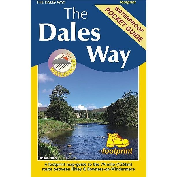
The Dales Way is a long distance trail in the north of England that runs between Ilkley, in North Yorkshire and Bowness-on-Windermere, in Cumbria. The route is 79 miles long (127km), and much of it passes through the Yorkshire Dales and Lake District National Parks. Starting out in Ilkley, the route runs along Wharfedale, passing the impressive ruins of Bolton Priory and the attractive market town of Grassington. It continues along the River Wharfe through dramatic limestone scenery before it crosses The Pennines to reach Dentdale and Sedbergh. It then skirts the Howgill Fells to finish overlooking Lake Windermere.
This map-guide for the Dales Way is designed for walkers with a number of panels showing a detailed section of the route along with helpful notes on navigation.
In addition there are link routes from Bradford, Leeds and Harrogate to the start of the route at Ilkley.
This map-guide for the Dales Way is designed for walkers with a number of panels showing a detailed section of the route along with helpful notes on navigation.
In addition there are link routes from Bradford, Leeds and Harrogate to the start of the route at Ilkley.
ISBN is: 9781916002937
We found other products you might like!
-
 Dales Way XT40 Harvey MapGuidepost price £15.95
 -
 Dales Way Map BookletGuidepost price £7.95
 -
 The Dales Way PathGuidepost price £14.95