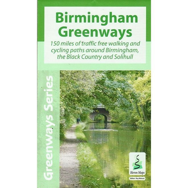
Birmingham Greenways Map
Guidepost price £5.99
In stock
SKU
01-HER-901
This Heron map covers 150 Miles of traffic free walking and cycling paths around Birmingham, the Black Country and Solihull.
It details walking and cycling routes around Birmingham and the Black Country at a scale of 1:30,000, featuring traffic free paths along canals, rivers, and parks of the Birmingham plateau. There is a detailed Birmingham City centre plan at a scale of 1:15,000.
Canals covered are: Birmingham Old Main Line (Brindley Canal), Birmingham New Main Line(Telford Canal), Birmingham and Fazeley Canal, Grand Union Canal, Worcester and Birmingham Canal, Tame Valley Canal, Warwick Junction Canal, Digbeth Branch Canal, Stratford-upon-Avon Canal, Dudley No. 2 Canal, Walsall Canal, Rushall Canal, Wednesbury Canal, Wednesbury Old Canal, and Wednesbury Oak Loop.
Rivers and Streams covered are: River Tame, River Rea, River Cole, Bourn Brook, Chad Brook, Merritts Brook, Chinn Brook, Hol Brook, Hawthorne Brook, Plants Brook, Wash Brook, Hockley Brook, Welches Brook, Stonehouse Brook, Griffins Brook, Callow Brook, Spark Brook, Hatchford Brook, and Westley Brook.
The map covers over 8,000 acres of parks, and over 90 former watermill sites. It feature plenty of Tourist Information, including over 100 heritage sites and places of interest, railway stations, nature reserves, churches, national cycle routes, boat moorings, sailing clubs, pubs, shops and public toilets.
Published by Heron Maps.
ISBN is: 9781908851161
We found other products you might like!
-
 Birmingham Canal Navigations Heron MapGuidepost price