Krk Island Walking Map
Guidepost price £9.95
In stock
SKU
10-CRO-020
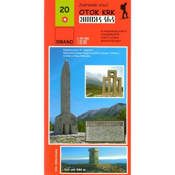
This Krk Island walking map describes the walking paths and trails on Krk Island, one of the most popular holiday islands in Croatia at a scale of 1:25,000. Krk is Croatia’s largest island and there are more than 300km of signposted walking and hiking trails on this island, passing through olive groves and hills, and following dry stone walls. These paths and trails cover the 3 main peaks of Krk, which are Obzovo (568m), Veli Vrh (541m), and Large Hlam (482m).
Included on this map are various numbered walking, hiking and cycling routes, complete with brief descriptions. The map shows various sandy beaches, plus other places of interest such as the historical old town of Krk, Vrbnik, Silo, Omišalj, Njivice Malinska, Klimno, Soline, Gabonjin (Glagolitic Park) Baska, and Punat.
Published by SMAND (map number 20), the map legend/key is in Croatian, German, Italian, and English text.
Scale is:1:25,000 and 1:50,000
ISBN is: 9789537163228
ISBN is: 9789537163228
We found other products you might like!
-
![Cres Island Walking Map [21a]](https://www.guidepost.uk.com/pub/media/catalog/product/cache/dadd9a99528695eab1f8fe8a8f1ff559/c/r/cres-island-walking-map-21a.jpg) Cres Island Walking Map [21a]Guidepost price £9.95
Cres Island Walking Map [21a]Guidepost price £9.95 -
![Lošinj Island Walking Map [21]](https://www.guidepost.uk.com/pub/media/catalog/product/cache/dadd9a99528695eab1f8fe8a8f1ff559/l/o/losinj-island-walking-map-21.jpg) Lošinj Island Walking Map [21]Guidepost price £9.95
Lošinj Island Walking Map [21]Guidepost price £9.95 -
![Rab and Goli Islands Walking Map [20a]](https://www.guidepost.uk.com/pub/media/catalog/product/cache/dadd9a99528695eab1f8fe8a8f1ff559/r/a/rab-and-otok-walking-map-20a.gif) Rab and Goli Islands Walking Map [20a]Guidepost price £9.95
Rab and Goli Islands Walking Map [20a]Guidepost price £9.95