Unterengadin Walking Map 3327T
Guidepost price £10.95
In stock
SKU
10-SWI-3327T
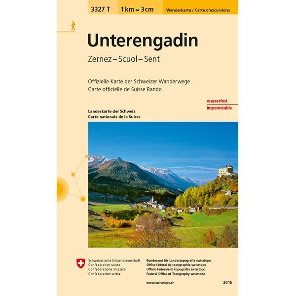
This Unterengadin Walking Map covers the Lower Engadine (Unterengadin) that is a long high Alpine valley region in the eastern Swiss Alps. The map also includes the towns of Zernez, Scoul, Sent and Susch.
The scale of this Unterengadin Walking Map (map number 3327T) is 1:33,333. Published by Swisstopo in cooperation with the Swiss Hiking Federation this map is printed on light, waterproof and tear-resistant paper.
The scale of this Unterengadin Walking Map (map number 3327T) is 1:33,333. Published by Swisstopo in cooperation with the Swiss Hiking Federation this map is printed on light, waterproof and tear-resistant paper.
Scale is:1:33,333
ISBN is: 9783302333274
ISBN is: 9783302333274