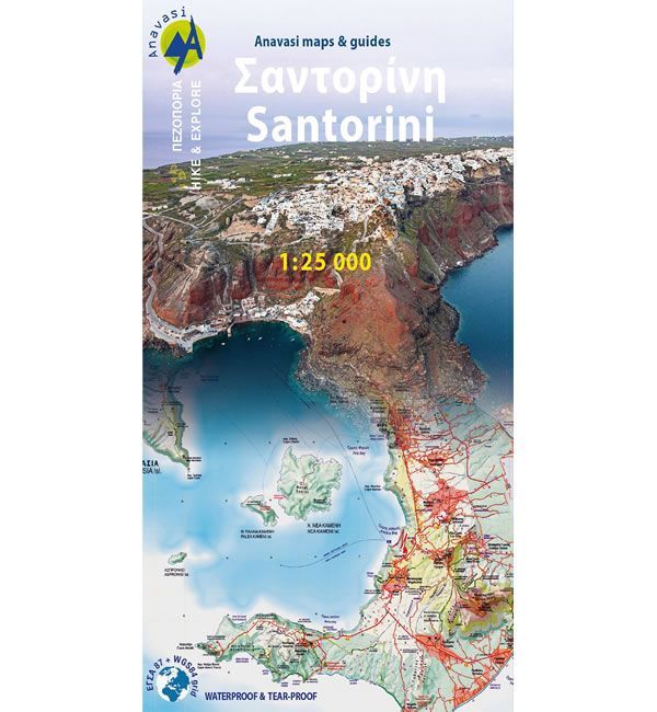
Santorini and Thirasia Walking Map
Guidepost price £8.50
In stock
SKU
10-GRE-10-24
This map shows all the hiking trails on the Greek Islands of Santorini and Thirasia, at a scale of 1:25,000.
Santorini has a varied landscape including steep sea cliffs, orchards, stonewalls, lost beaches, huts, chapels, inland villages with a well preserved medieval core called Castelo. All of which is best explored on foot.
On the reverse of the map there are 25 proposed walking routes along with a mini-guide to the islands of Santorini and Thirasia.
Published by Anavasi (Revised 2022 edition) on waterproof and rip-proof polyart paper, and is map number 10.24. The text and legend of this map is in English and Greek throughout.
Scale is:1:25,000
ISBN is: 9789608195349
ISBN is: 9789608195349