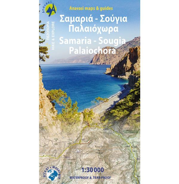
Samaria Gorge, Sougia, and Paliochora Walking Map
This map shows all the walking and hiking paths around the towns of Sougia, and Paliochora in southeast Crete, at a scale of 1:30,000. The map shows the entire route of the popular Samaria Gorge and Agias Eirinis Gorge. Paths and trails are also shown to the summits of Mt Gigilos (1,974m) and Volakias (2,116m), plus many other mountains in this region. Also shown is a beautiful, but serious coastal trail from Aghia Roumeli to Soughia. On the reverse of the map there are some proposed walking routes along with a brief description.
This Samaria Gorge, Sougia, and Paliochora walking map is published by Anavasi, and is map number 11.13. This map is laminated (waterproof and rip-proof) and is compatible with GPS systems, whilst the text and legend are in English and Greek throughout.
ISBN is: 9789608195851
-
![Frangokastelo and Plakias Walking Map [11.17]](https://www.guidepost.uk.com/pub/media/catalog/product/cache/dadd9a99528695eab1f8fe8a8f1ff559/c/r/crete-frangokastelo-and-plakias-walking-map-11-17.jpg) Frangokastelo and Plakias Walking Map [11.17]Guidepost price £8.95
Frangokastelo and Plakias Walking Map [11.17]Guidepost price £8.95 -
![Mt Dikti and Mt Selena Walking Map [11.15] by Anavasi](https://www.guidepost.uk.com/pub/media/catalog/product/cache/dadd9a99528695eab1f8fe8a8f1ff559/c/r/crete-mt-dikti-and-mt-selena-walking-map-11-15-2022.jpg) Mt Dikti and Mt Selena Walking Map [11.15]Guidepost price £8.95
Mt Dikti and Mt Selena Walking Map [11.15]Guidepost price £8.95 -
![Mt Ida (Psiloritis) Walking Map [11.14]](https://www.guidepost.uk.com/pub/media/catalog/product/cache/dadd9a99528695eab1f8fe8a8f1ff559/m/t/mt-ida-psiloritis-walking-map.jpg) Mt Ida (Psiloritis) Walking Map [11.14]Guidepost price £8.95
Mt Ida (Psiloritis) Walking Map [11.14]Guidepost price £8.95 -
![Crete Lefka Ori (White Mountains) Walking Map [11.11 and 11.12]](https://www.guidepost.uk.com/pub/media/catalog/product/cache/dadd9a99528695eab1f8fe8a8f1ff559/c/r/crete-lefka-ori-white-mountains-walking-map.gif) Crete Lefka Ori (White Mountains) Walking Map [11.11 and 11.12]Guidepost price £8.95
Crete Lefka Ori (White Mountains) Walking Map [11.11 and 11.12]Guidepost price £8.95