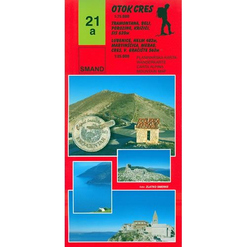
Cres Island Walking Map
Guidepost price £9.95
In stock
SKU
10-CRO-021a
This Cres Island walking map describes the walking paths and trails on Cres Island, one of the most popular holiday islands in Croatia at a scale of 1:75,000. The map covers Lake Vrana (fresh water lake), Beli Eko Centre, Tramontana, as well as the peaks of Gorice (648m), Sis (639m), and Helm (487m).
The map includes several sections of Cres Island at a larger scale of 1:25,000 including:
1) The towns of Cres, Merag, Vela Graèišæe, and Predošćica.
2) The crosses, Sis, Gorice, White, and Porozina (includes Tramuntana, and Beli Eko Centre).
3) Martinščica, Helm, and Watermelon.
Published by SMAND (map number 21a), the map legend/key is in Croatian, German, Italian, and English text.
Scale is:1:75,000 and 1:25,000
ISBN is: 9789537163181
ISBN is: 9789537163181
We found other products you might like!
-
![Lošinj Island Walking Map [21]](https://www.guidepost.uk.com/pub/media/catalog/product/cache/dadd9a99528695eab1f8fe8a8f1ff559/l/o/losinj-island-walking-map-21.jpg) Lošinj Island Walking Map [21]Guidepost price £9.95
Lošinj Island Walking Map [21]Guidepost price £9.95 -
![Rab and Goli Islands Walking Map [20a]](https://www.guidepost.uk.com/pub/media/catalog/product/cache/dadd9a99528695eab1f8fe8a8f1ff559/r/a/rab-and-otok-walking-map-20a.gif) Rab and Goli Islands Walking Map [20a]Guidepost price £9.95
Rab and Goli Islands Walking Map [20a]Guidepost price £9.95 -
![Sjeverni Velebit National Park Map [16a]](https://www.guidepost.uk.com/pub/media/catalog/product/cache/dadd9a99528695eab1f8fe8a8f1ff559/s/j/sjeverni-velebit-national-park-map-16a.jpg) Sjeverni Velebit National Park Map [16a]Guidepost price £9.95
Sjeverni Velebit National Park Map [16a]Guidepost price £9.95