Cumbria Way Map
Guidepost price £9.50
In stock
SKU
02-FTP-102
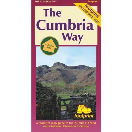
This is a complete map and guide to the Cumbria Way that is 73 miles (117km) long. The trail passes through some of the English Lake District's finest scenery. Generally, it follows well-maintained paths and tracks between Ulverston and Carlisle.
This Footprint Map is divided into five sections, each portrayed on a separate map panel. The route is marked in miles, starting in Ulverston and text describing the route accompanies each section.
Published by Footprint, this map is waterproof that provides compact and concise information for walkers.
Scale is:1:40,000
ISBN is: 9781871149876
ISBN is: 9781871149876
We found other products you might like!
-
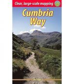 Cumbria Way Rucksack Reader GuidebookGuidepost price £12.99
 -
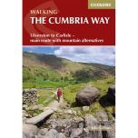 Cumbria Way Cicerone GuidebookGuidepost price £14.95
 -
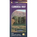 Cumbria Way XT40 Harvey MapGuidepost price £15.95