Edale Skyline Challenge Map
Guidepost price £6.99
In stock
SKU
02-DWG-005
The Edale Skyline Challenge is a circular route that traditionally starts at the village of Edale. At Just over 20 miles long, the route includes 7 major summits that are Win Hill, Lose Hill, Hollins Cross, Mam Tor, Brown Knoll, Kinder Scout Low, and Grindslow Knoll. With over 1,200m of ascent the challenge is to complete the Edale Skyline in less than 10 hours.
The Edale Skyline Challenge is a classic Peak District hillwalking adventure. It is a very scenic route with views of Ladybower Reservoir, Edale Rocks, Mam Tor, Noe Stool and Kinder Scout Low.
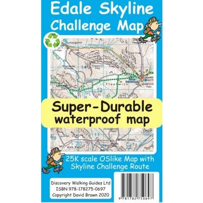
This Edale Skyline Challenge Map uses OS mapping at 1:50,000 that is expanded to produce a 1:25,000 scale map of the Edale Skyline Challenge. By expanding the OS mapping all names, roads, tracks and trails are more than doubled in size making them easier to read under Challenge conditions. The Edale Skyline Challenge route is highlighted to make it stand out against the OS map background information. Specific route information is then added including various options to the route.
On the reverse of the map there is a description of the Edale Skyline Challenge route, complete with distances and timings for the sections of the route along with the 44 waypoints which define the challenge.
Published by Discovery Walking Guides in 2020, this is a double sided map.
This Edale Skyline Challenge Super-Durable map is water-proof, split-proof, tear-proof and challenge-proof that can take the roughest treatment and still folds up like new after your adventure. Backed up with a 2-year guarantee these Super-Durable maps have a special concertina map fold that means they easily unfold when in use, and more importantly will survive anything your Edale Skyline Challenge can throw at it and afterwards will fold up like new.
The Edale Skyline Challenge is a classic Peak District hillwalking adventure. It is a very scenic route with views of Ladybower Reservoir, Edale Rocks, Mam Tor, Noe Stool and Kinder Scout Low.
This Edale Skyline Challenge Map uses OS mapping at 1:50,000 that is expanded to produce a 1:25,000 scale map of the Edale Skyline Challenge. By expanding the OS mapping all names, roads, tracks and trails are more than doubled in size making them easier to read under Challenge conditions. The Edale Skyline Challenge route is highlighted to make it stand out against the OS map background information. Specific route information is then added including various options to the route.
On the reverse of the map there is a description of the Edale Skyline Challenge route, complete with distances and timings for the sections of the route along with the 44 waypoints which define the challenge.
Published by Discovery Walking Guides in 2020, this is a double sided map.
This Edale Skyline Challenge Super-Durable map is water-proof, split-proof, tear-proof and challenge-proof that can take the roughest treatment and still folds up like new after your adventure. Backed up with a 2-year guarantee these Super-Durable maps have a special concertina map fold that means they easily unfold when in use, and more importantly will survive anything your Edale Skyline Challenge can throw at it and afterwards will fold up like new.
Scale is:1:25 000
ISBN is: 9781782750697
ISBN is: 9781782750697