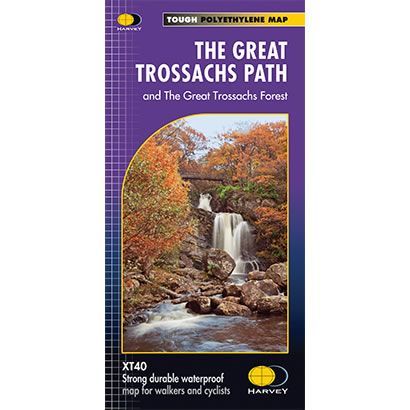
The Great Trossachs Path XT40 Harvey Map
Guidepost price £9.95
In stock
SKU
02-NTM-041
This is a complete map of the Great Trossachs long distance path that shows the entire route on 1 map. The Great Trossachs path is 30 miles long and it links together 3 of Scotlandís great trails, these being the West Highland Way, the Rob Roy Way and the Three Lochs Way. The Great Trossachs path is suitable for both for walkers and cyclists, and the map also includes other waymarked routes within the Great Trossachs Forest with a generous amount of the fine broadleaved woodland of the Forest north and south of the Trail.
The map includes logistical information for walking the Great Trossachs Path, including accommodation options, shops and refreshments. Directions to the start of the route are included plus enlargements of the local towns and villages showing what facilities are available.
Harvey XT40 Maps are printed on light, waterproof and tear-resistant synthetic paper, and it is GPS compatible. The map key and legend is in English, French and German text.
Scale is:1:40,000
ISBN is: 9781851375400
ISBN is: 9781851375400