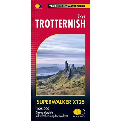
Skye Trotternish XT25 Superwalker Map
Guidepost price £15.50
In stock
SKU
02-SWM-001
This is a detailed map of the whole of the Trotternish Ridge on the island of Skye at a scale of 1:25,000. The map also shows the Old Man of Storr and the Quiraing, plus 2 Grahams, and is GPS compatible.
Published by Harvey Maps, it is printed on light, waterproof and tear-resistant synthetic paper.
Published by Harvey Maps, it is printed on light, waterproof and tear-resistant synthetic paper.
Scale is:1:25,000
ISBN is: 9781851373642
ISBN is: 9781851373642