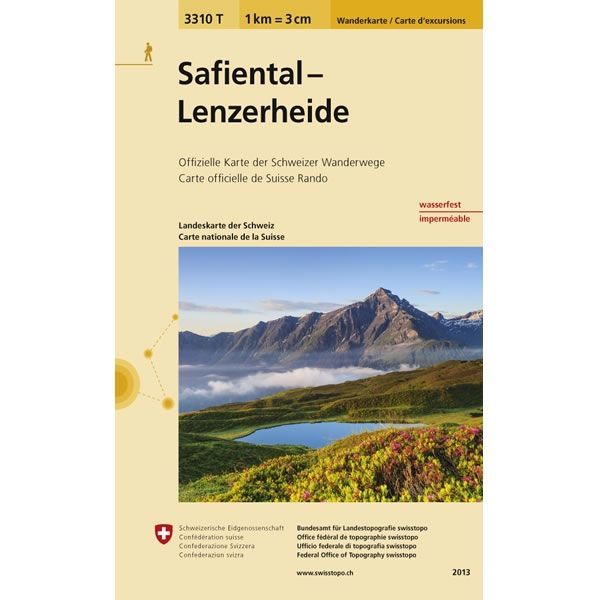
Safiental-Lenzerheide Walking Map 3310T
Guidepost price £10.95
In stock
SKU
10-SWI-3310T
This Safiental-Lenzerheide Walking Map covers the Safien Valley in the midst of the Graubünden Mountains and the town of Lenzerheide to the south of Chur. Alpine meadows, mountain forests and peaks define the Safien Valley providing a varied network of hiking and biking trails.
The scale of this Safiental-Lenzerheide Walking Map (map number 3310T) is 1:33,333. Published by Swisstopo in cooperation with the Swiss Hiking Federation this map is printed on light, waterproof and tear-resistant paper.
The scale of this Safiental-Lenzerheide Walking Map (map number 3310T) is 1:33,333. Published by Swisstopo in cooperation with the Swiss Hiking Federation this map is printed on light, waterproof and tear-resistant paper.
Scale is:1:33,333
ISBN is: 9783302333106
ISBN is: 9783302333106