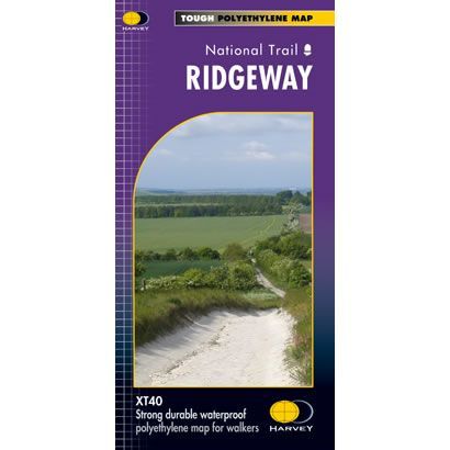
Ridgeway XT40 Harvey Map
Guidepost price £15.95
In stock
SKU
02-NTM-024
This is a complete map of The Ridgeway Path National Trail Path showing the entire route on 1 sheet. This long distance path starts at Avebury in Wiltshire and finishes at Ivinghoe Beacon in Buckinghamshire.
The map includes logistical information for walking The Ridgeway Path, including accommodation options, shops and refreshments. Directions to the start of the route are included plus enlargements of the local towns and villages showing what facilities are available.
Harvey XT40 Maps are printed on light, waterproof and tear-resistant synthetic paper, and it is GPS compatible. The map key and legend is in English, French and German text.
Scale is:1:40,000
ISBN is: 9781851374786
ISBN is: 9781851374786
We found other products you might like!
-
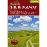
 The Ridgeway Trailblazer GuidebookGuidepost price £12.99
 -
 Ridgeway National Trail Cicerone GuidebookGuidepost price £15.95
 -
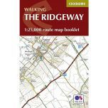 Ridgeway Map BookletGuidepost price £7.95
 -
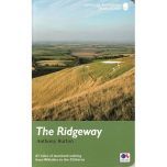 Ridgeway Path Official GuidebookGuidepost price £14.99