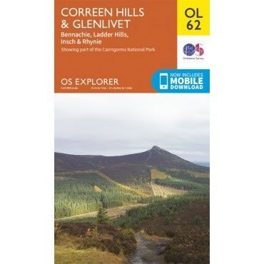
OS Explorer Map OL62 - Coreen Hills and Glenlivet
Guidepost price
In stock
SKU
00-EXP-OL62
This OS Explorer OL62 Map covers Coreen Hills and Glenlivet, plus Bennachie, Ladder Hills, Insch and Rhynie. The map shows part of the Cairngorms National Park, including Gordon Way, Badingair Hill and Water of Bogie.
The scale of this OL 62 Explorer map is 1:25,000 where 4cm equals 1km, or 2.5 inches equals 1 mile.
With this map you will receive a code for a free mobile download onto your smartphone or tablet (iOS or Android).
The scale of this OL 62 Explorer map is 1:25,000 where 4cm equals 1km, or 2.5 inches equals 1 mile.
With this map you will receive a code for a free mobile download onto your smartphone or tablet (iOS or Android).
Scale is:1:25000
ISBN is: 9780319243015
ISBN is: 9780319243015