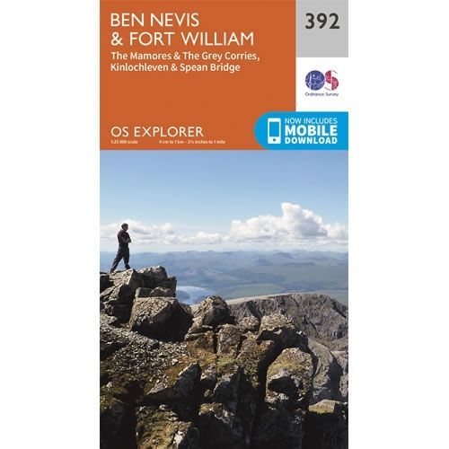
OS Explorer Map 392 - Ben Nevis and Fort William
Guidepost price
In stock
SKU
00-EXP-392
This OS Explorer 392 Map covers Ben Nevis and Fort William, including The Mamores, The Grey Corries, Kinlochleven and Spean Bridge.
The scale of this OS392 Explorer map is 1:25,000 where 4cm equals 1km, or 2.5 inches equals 1 mile.
With this map you will receive a code for a free mobile download onto your smartphone or tablet (iOS or Android).
The scale of this OS392 Explorer map is 1:25,000 where 4cm equals 1km, or 2.5 inches equals 1 mile.
With this map you will receive a code for a free mobile download onto your smartphone or tablet (iOS or Android).
Scale is:1:25,000
ISBN is: 9780319246351
ISBN is: 9780319246351

