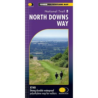
North Downs Way XT40 Harvey Map
Guidepost price £15.95
In stock
SKU
02-NTM-008
This is a complete map of the North Downs Way National Trail Path showing the entire route on 1 sheet. This long distance path starts at Farnham in Surrey and finishes at Dover on the Kent coast, and is 156 miles long.
The map includes logistical information for walking the North Downs Way, including accommodation options, shops and refreshments. Directions to the start of the route are included plus enlargements of the local towns and villages showing what facilities are available.
Harvey XT40 Maps are printed on light, waterproof and tear-resistant synthetic paper, and it is GPS compatible. The map key and legend is in English, French and German text.
Scale is:1:40,000
ISBN is: 9781851375295
ISBN is: 9781851375295