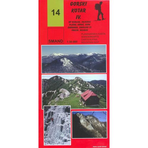
Gorski Kotar IV Map - Risnjak National Park
Guidepost price £9.95
In stock
SKU
10-CRO-014
This walking map details the walking paths and trails in the Risnjak National Park near Delnice that is part of the Gorski Kotar mountain range in northern Croatia.
Included on the map are the following mountain peaks:
Veliki Risnjak 1,528m , Snježnik 1,505m, Lazačka glavica 1,426m, Planina 1,425m, Jelenc 1,442m, Gornji Medvejci 1,461m, Obruč 1,376m, V. Drgomalj 1,154m, Štimčev vrh 1,024m, Praprot 929m, Pintarica 800m, and Guslica 149m
Published by SMAND (map number 14), the map legend/key is in Croatian, German, Italian, and English text.
Scale is:1:30,000
ISBN is: 9789539721747
ISBN is: 9789539721747
We found other products you might like!
-
![Dinara Mountain Map [40]](https://www.guidepost.uk.com/pub/media/catalog/product/cache/dadd9a99528695eab1f8fe8a8f1ff559/d/i/dinara-mountains-map_1.jpg) Dinara Mountain Map [40]Guidepost price £9.95
Dinara Mountain Map [40]Guidepost price £9.95 -
![Biokovo Mountain Nature Park Map [32]](https://www.guidepost.uk.com/pub/media/catalog/product/cache/dadd9a99528695eab1f8fe8a8f1ff559/b/i/biokovo-mountains-map-32-2017.jpg) Biokovo Mountain Nature Park Map [32]Guidepost price £9.95
Biokovo Mountain Nature Park Map [32]Guidepost price £9.95 -
![Paklenica National Park Map [19]](https://www.guidepost.uk.com/pub/media/catalog/product/cache/dadd9a99528695eab1f8fe8a8f1ff559/p/a/paklenica-national-park-map.jpg) Paklenica National Park Map [19]Guidepost price £9.95
Paklenica National Park Map [19]Guidepost price £9.95