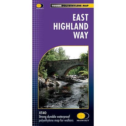
East Highland Way XT40 Harvey Map
Guidepost price £15.95
In stock
SKU
02-NTM-031
This is a complete map of the East Highland Way long distance path showing the entire route on 1 map. The East Highland Way is 82 miles long and it starts at Fort William and finishes at Aviemore. The route is varied passes through mountains, loch-side trails, and through the ancient Caledonian Forests of Inshriach.
The East Highlands Way forms a new link between the northern end of the West Highland Way and the southern end of the Speyside Way. It also joins the Great Glen Way at Fort William.
The map includes logistical information for walking the East Highland Way, including accommodation options, shops and refreshments. Directions to the start of the route are included plus enlargements of the local towns and villages showing what facilities are available. Accommodation options have been carefully chosen wherever possible, to make this route accessible to walkers of all abilities.
Harvey XT40 Maps are printed on light, waterproof and tear-resistant synthetic paper, and it is GPS compatible. The map key and legend is in English, French and German text.
Scale is:1:40,000
ISBN is: 9781851375301
ISBN is: 9781851375301