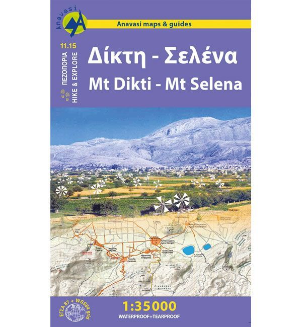
Mt Dikti and Mt Selena Walking Map
This map shows all the walking and hiking paths around Mt Dikti, Mt Selena and the Lassithi Plateau, at a scale of 1:35,000. The Lassithi Plateau is remarkably flat and wide at an altitude of 800 to 850m. It is surrounded by mountains with Mt Dikti to the south and Mt Selena to the north. The 18 villages of the plateau are built at the foot of the mountains and connected via a circular road that is 23km long.
The map shows numerous hiking and walking trails, including part of the E4 Cretan Way long distance path. On the reverse of the map there is a lot of information regarding the points of interested in this area, including the walking times to the tops of the various mountains.
This Mt Dikti and Mt Selena walking map is published by Anavasi, and is map number 11.15. This map is laminated (waterproof and rip-proof) and is compatible with GPS systems, whilst the text and legend are in English and Greek throughout.
ISBN is: 9789609412315
-
![Frangokastelo and Plakias Walking Map [11.17]](https://www.guidepost.uk.com/pub/media/catalog/product/cache/dadd9a99528695eab1f8fe8a8f1ff559/c/r/crete-frangokastelo-and-plakias-walking-map-11-17.jpg) Frangokastelo and Plakias Walking Map [11.17]Guidepost price £8.95
Frangokastelo and Plakias Walking Map [11.17]Guidepost price £8.95 -
![Zakros, Vai, and Sitia Walking Map [11.16]](https://www.guidepost.uk.com/pub/media/catalog/product/cache/dadd9a99528695eab1f8fe8a8f1ff559/c/r/crete-zakros-vai-sitia-walking-map-11-16.jpg) Zakros, Vai, and Sitia Walking Map [11.16]Guidepost price £8.95
Zakros, Vai, and Sitia Walking Map [11.16]Guidepost price £8.95 -
![Mt Ida (Psiloritis) Walking Map [11.14]](https://www.guidepost.uk.com/pub/media/catalog/product/cache/dadd9a99528695eab1f8fe8a8f1ff559/m/t/mt-ida-psiloritis-walking-map.jpg) Mt Ida (Psiloritis) Walking Map [11.14]Guidepost price £8.95
Mt Ida (Psiloritis) Walking Map [11.14]Guidepost price £8.95 -
![Crete Lefka Ori (White Mountains) Walking Map [11.11 and 11.12]](https://www.guidepost.uk.com/pub/media/catalog/product/cache/dadd9a99528695eab1f8fe8a8f1ff559/c/r/crete-lefka-ori-white-mountains-walking-map.gif) Crete Lefka Ori (White Mountains) Walking Map [11.11 and 11.12]Guidepost price £8.95
Crete Lefka Ori (White Mountains) Walking Map [11.11 and 11.12]Guidepost price £8.95