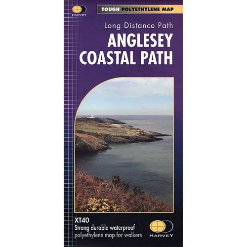
Anglesey Coastal Path XT40 Harvey Map
Guidepost price £15.95
In stock
SKU
02-NTM-042
This is a complete map of the Anglesey Coastal Path that is 125 miles long. This long distance path follows much of the Angleseyís coastline in a designated Area of Outstanding Natural Beauty, and is primarily catered for walkers however, cyclists and horse riders can also enjoy certain sections. The route passes some great scenery including wide sandy bays, estuaries, intimate coves, dramatic cliffs, rocky islets, sand dunes and forests.
The path falls within a designated Area of Outstanding Natural Beauty which covers 95% of the coast. It passes through landscape that includes a mixture of farmland, coastal heath, dunes, salt-marsh, foreshore, cliffs and a few small pockets of woodland.
The map includes logistical information for walking the Anglesey Coastal Path, including accommodation options, shops and refreshments. Directions to the start of the route are included plus enlargements of the local towns and villages showing what facilities are available.
Harvey XT40 Maps are printed on light, waterproof and tear-resistant synthetic paper, and it is GPS compatible. The map key and legend is in English, French and German text.
Scale is:1:40,000
ISBN is: 9781851375851
ISBN is: 9781851375851