Costa Blanca Mountains Tour and Trail Super-Durable Map
Guidepost price £10.99
In stock
SKU
10-SPA-350
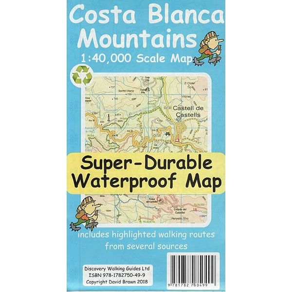
This tour and trail walking map covers the Mountains of Costa Blanca at a scale of 1:40,000, and is printed on both sides with a generous overlap between the north and south regions. All the usual details of Tour & Trail Maps are included: Roads, Motorways, major roads, secondary roads, minor roads and tarmacked lanes plus unsurfaced (dirt) roads and walking trails.
This updated 2nd edition of the Costa Blanca Mountains Tour and Trail Map includes a large number of walking tracks and trails from various sources. Walk! The Costa Blanca Mountains’ 37 walking routes are highlighted in red, and official PR/GR walking routes are highlighted in green. Also included are 72 walking routes from the Costa Blanca Mountain Walkers website that are highlighted in blue, plus 27 walking routes from the Costa Blanca walking guidebook by Rother.
Published by Discovery Walking Guides in January 2013 (updated 2nd edition) this Costa Blanca Mountains map is printed on both sides. All the legendary Tour and Trail attention to detail is included, such as petrol stations, viewpoints with parking, refreshment stops with parking and accurate road numbering.
This Costa Blanca Mountains Super-Durable map is water-proof, split-proof, tear-proof and adventure-proof that can take the roughest treatment and still folds up like new after your adventure. Backed up with a 2-year guarantee these Super-Durable maps have a special concertina map fold that means they easily unfold when in use, and more importantly folds back up easily to its compact pocket size even after the toughest of use.
Scale is:1:40,000
ISBN is: 9781782750499
ISBN is: 9781782750499
We found other products you might like!
-
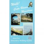 Walk! The Costa Blanca Mountains GuidebookGuidepost price £12.99
 -
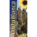 Costa Blanca car tours and walks GuidebookGuidepost price £12.99
 -
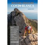 Costa Blanca Mountain Adventures GuidebookGuidepost price £16.95