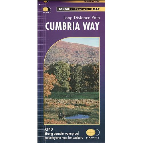
Cumbria Way XT40 Harvey Map
Guidepost price £15.95
In stock
SKU
02-NTM-043
This is a complete map of the Cumbria Way that shows the entire route on 1 map. The Cumbria Way is 70 miles long that starts at Ulverston and finishes at Carlisle, passing through Coniston, Dungeon Ghyll, Keswick and Caldbeck. The route mostly travels through valleys rather than over the high mountain tops of the Lake District.
The map includes logistical information for walking the Cumbria Way, including accommodation options, shops and refreshments. Directions to the start of the Cumbria Way are included plus enlargements of the local towns and villages showing what facilities are available.
Harvey XT40 Maps are printed on light, waterproof and tear-resistant synthetic paper, and it is GPS compatible. The map key and legend is in English, French and German text.
Scale is:1:40,000
ISBN is: 9781851374243
ISBN is: 9781851374243
We found other products you might like!
-
 Cumbria Way Cicerone GuidebookGuidepost price £14.95
 -
 Cumbria Way MapGuidepost price £9.50
 -
 Cumbria Way Rucksack Reader GuidebookGuidepost price £12.99